SOLUTIONS FOR MINING

Geospatial data and analytics for resource management

mining after hero

CREATE OPPORTUNITY, MINIMIZE RISK

As mining companies search to improve their margins while enhancing their safety and sustainability programs, balancing uncertainty and opportunity is more difficult than ever.

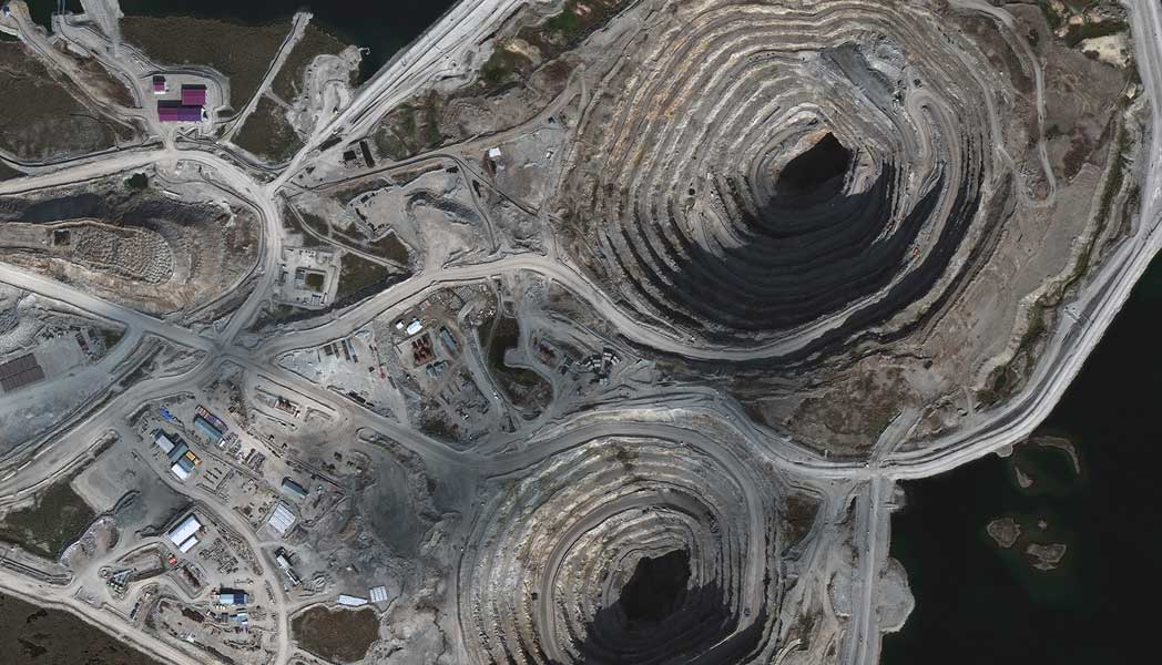
Geospatial intelligence helps mitigate risk by providing clear insight on a variety of on-going changes: monitoring elevation changes in an open pit mine; identifying environmental damage and other operational impact. Gain real-world answers to inform and expedite decisions, so you can be first to leverage an opportunity.

MAXIMIZE RESOURCES AND REFINE OPERATIONS

Find opportunities first, know which sites are most promising, and make decisions quickly with Maxar Earth Intelligence. Whether you need imagery, maps, elevation models, weather data or spatial data analytics to get your job done, Maxar simplifies access to the information you need, how and when you need it.

MINING LIFECYCLE MANAGEMENT

RELEVANT PRODUCTS

Satellite Imagery

The fidelity of Maxar’s high-resolution imagery delivers actionable insights about important locations, assets and operations.

Learn more

Spatial on Demand®

Access the world’s largest professional-grade energy geospatial solution for quick and easy access to search, select, share and store geospatial data setsdirectly in your current workflows.

Learn more

3D geospatial data

Access high-resolution 3D models to provide a digital twin for a more complete picture of the situations that matter to your organization.

Learn more

Change detection

Continuously monitor operations and detect activity changes over customer and market assets with near real time alerts powered by Maxar AI and machine learning capabilities.

Learn more

Resources

View more

SEE FOR YOURSELF

Explore how geospatial data can help you gain accurate and timely insights about your mining operations.

Request samples