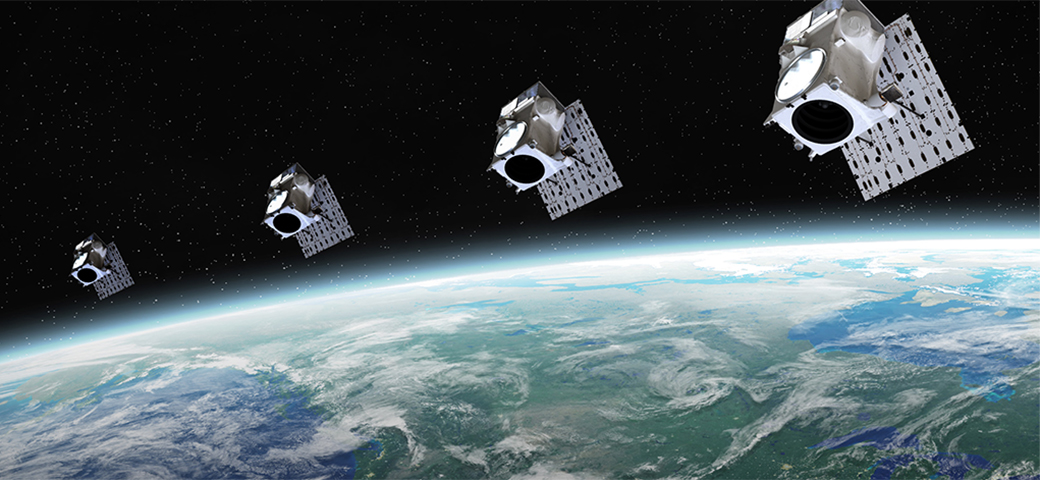
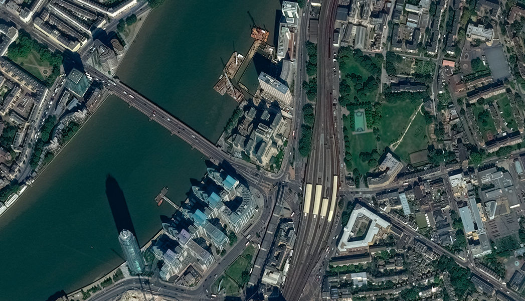
High-resolution commercial imagery
Maxar provides 90% of the commercial satellite imagery used to create foundation GEOINT for the U.S. government and 50 international governments.
Diverse offerings powering national security missions around the world
Counter today's intelligence challenges to source, ingest, process and analyze more data with geospatial intelligence (GEOINT) solutions and expertise.
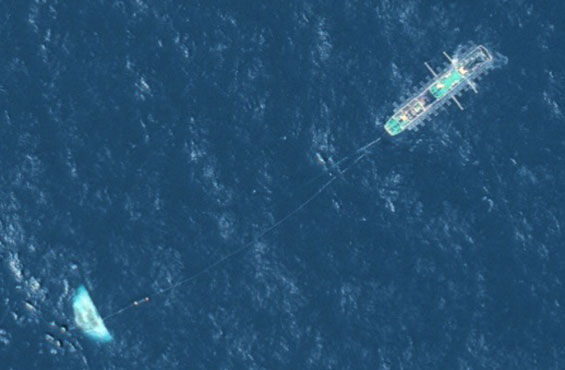
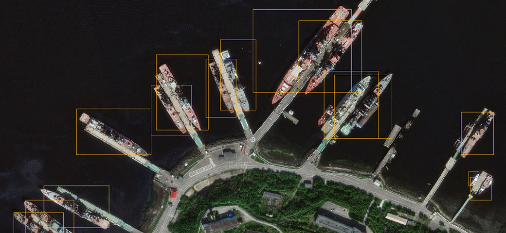
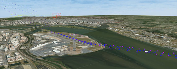
Maxar Intelligence’s Crow’s Nest Maritime Monitoring and Security product leverages space-based optical and radar imagery, advanced machine learning, automation and low-latency alerting to empower naval organizations around the world with deeper insights into vessel activity within their areas of interest.

Maxar was selected to develop prototype mission data processing applications for the U.S. Space Force’s Future Operationally Resilient Ground Evolution Mission Data Processing program. Maxar’s prototype applications provide rapid mission data processing and dissemination services for overhead persistent infrared data from the Space-Based Infrared System satellites.
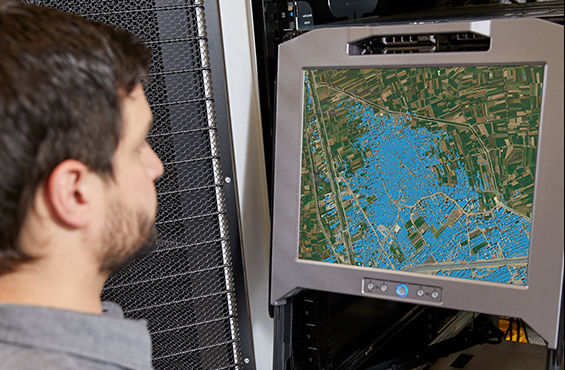
The ever-increasing volume of available information requires increased levels of automation for efficiency. Maxar’s Red Wing architecture, developed for the Air Force Research Laboratory, enables geospatial analysts to focus on addressing some of the most challenging intelligence problems by automating time-consuming workflows.
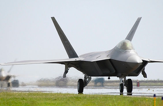
The highly portable Maxar-built U.S. Army Remote Ground Terminal provides critical GEOINT to warfighters in remote locations.
Our innovative solutions for complex downstream use cases directly support decision-makers and end users. Together, the many elements of Maxar can help defense and intelligence organizations meet their far-reaching modernization goals, maintain decision advantage, and rapidly identify and predict change.
Maxar provides 90% of the commercial satellite imagery used to create foundation GEOINT for the U.S. government and 50 international governments.
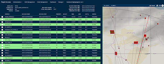
Maxar's RAP provides the highest commercially available collection priority, predictable access and virtual control of imaging operations to help you meet your mission requirements.
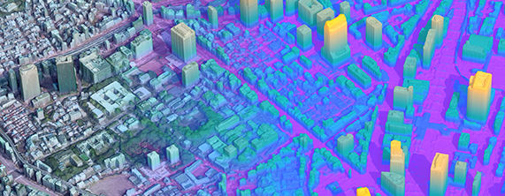
Maxar's Precision3D™ data and capabilities offer a foundation for military simulation and training in addition to a variety of tactical missions, such as navigation and mission planning. Transforming 2D satellite imagery into 3D provides more information to intelligence analysts and more geolocation accuracy to warfighters.
Maxar's DeepCore Suite is an end-to-end artificial intelligence and machine learning pipeline for self-service computer vision analytics.
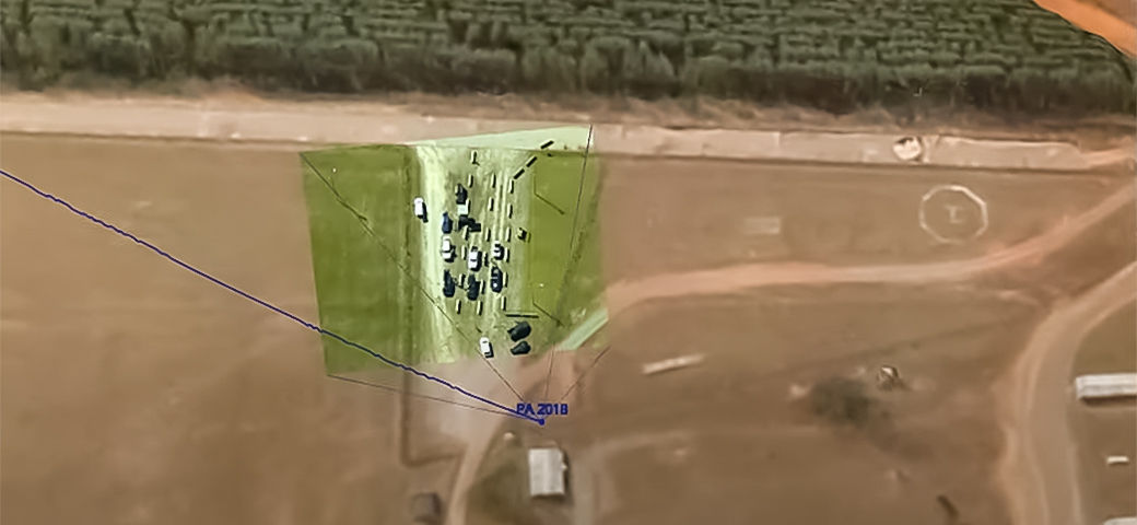
Maxar's CityBox and WorldBox are turnkey geospatial big data visualization and analytics tools. These immersive solutions use geospatially enabled virtual and augmented reality to interactively display large volumes of data over a high-resolution Maxar 3D base layer.
Maxar solutions allow analysts to generate physics-based metrics describing system performance, architecture analysis and collection satisfaction.
Having the right solution for your mission, team and budget makes all the difference. We can help you find the right fit for your objectives.
Contact us