Visual assessment
Monitor borders, remote assets and the urban landscape, or plan future development projects.
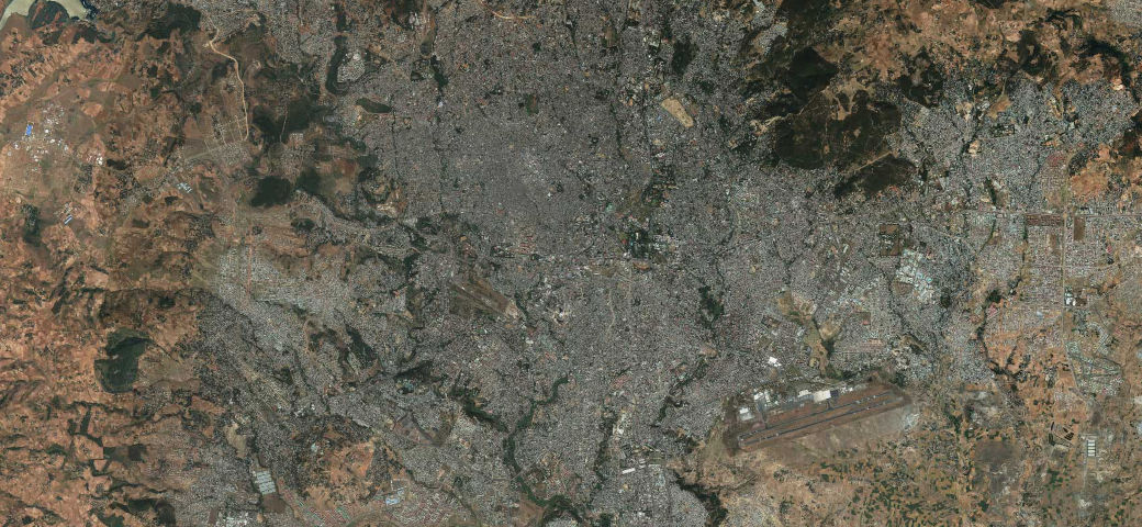
The foundation for mapping our world
Spend less time processing data and more time executing your mission. Imagery basemaps—derived from Maxar Intelligence's constellation of high-resolution satellites—provide a stunning, high-accuracy image layer over large areas to support mapping, visualization and analytics.

Better than 5 m CE90 global accuracy supports reliable maps and data layers.

30 cm native resolution with advanced processing provides beautiful, clear basemaps.

Annual basemap layers offer refreshed imagery with year-over-year consistency.

Delivery options ensure a seamless integration into products and workflows.
When geospatial data is integral to your product or necessary for decisions about your community or customers, having a trusted source matters. Imagery basemaps produced from Maxar’s high-resolution satellite imagery provide a consistent, predictable foundation for local projects or missions that cross the globe.
Monitor borders, remote assets and the urban landscape, or plan future development projects.
Extract roads, buildings and parcels, identify land use, and track change at local to global scale.
Produce 2D and 3D maps with a consistent, high-quality foundational image layer worldwide.
Provide a visual reference in applications or context to maps with a basemap that reflects reality.
Maxar imagery basemaps are sourced from the world's largest high-resolution image library to provide a visually consistent image layer from metro to global scale. Maxar’s Vivid™ and Dynamic imagery basemaps feature our latest innovations in mosaicking, color balancing and image processing to provide stunning high-resolution, high-accuracy image layers available off the shelf or configured on demand.
Vivid offers a suite of off-the-shelf imagery basemaps with up to 15 cm HD resolution and 5 m CE90 spatial accuracy. Vivid basemaps are produced annually with the most current, clear imagery available. With high-quality image layers available immediately around the globe, Vivid is ideal for visualization, large area feature extraction, and providing context in maps and applications.
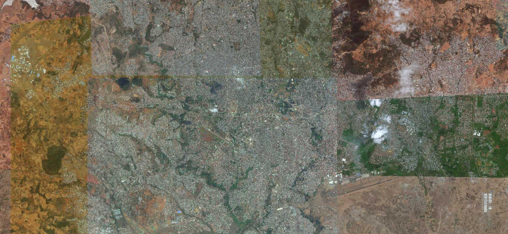
Dynamic offers the flexibility to configure or fully customize basemap parameters to meet specific project requirements. Dynamic basemaps are produced at the time of order for the requested areas, with rapid processing ensuring delivery within weeks. Dynamic builds can also be scheduled quarterly, semiannually or annually to align with project or business needs.
Explore how Maxar imagery basemaps can improve your products and support your missions.
Download a sample