See your world in 3D
Our suite of elevation models enables you to measure and analyze your project in 3D for a more complete picture of the situations that matter to your organization
Add dimension to your view of the Earth
Our suite of elevation models enables you to measure and analyze your project in 3D for a more complete picture of the situations that matter to your organization
Maxar elevation models are a key component in a variety of geospatial applications

Identify areas at-risk for flooding, earthquake damage and other natural disasters, then plan your response

Calculate signal propagation and determine line of sight for network optimization and microwave backhaul
Evaluate areas, create a visualization and estimate costs

Build flood models to predict storm surge/sea level rise, landslides and pipeline spill mitigation

Monitor mine operations and plan for earth-moving and construction

Identify faults and outcroppings to link surface and subsurface data
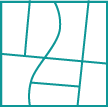
The highest quality digital elevation models (DEMs) are available off-the-shelf or custom-built. With global coverage and options for accuracy and resolution, models are GIS-ready, so you can focus on analysis, not processing.
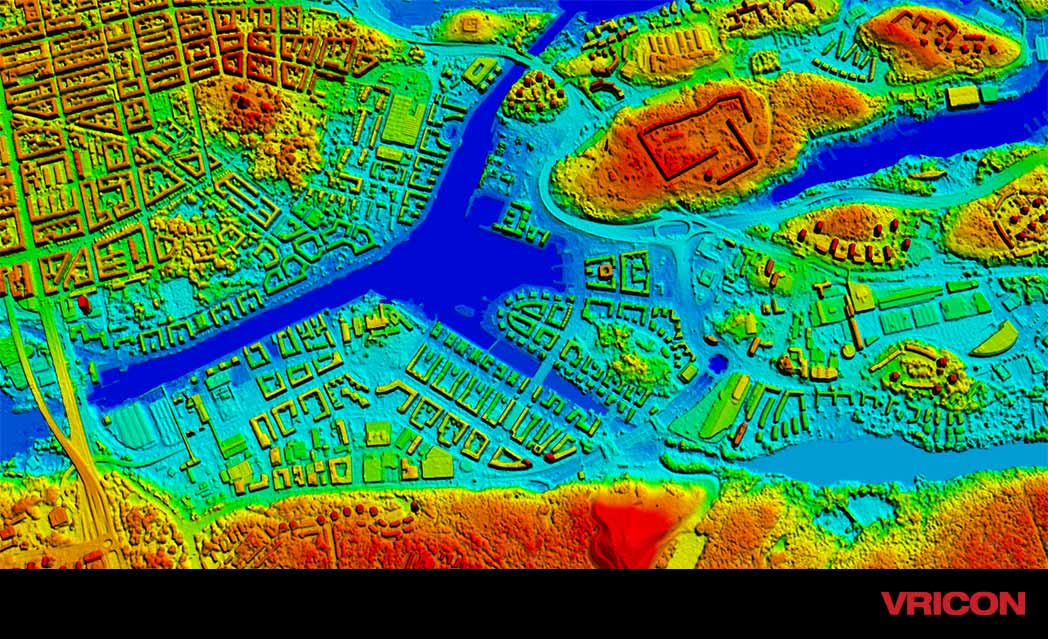
Life-like 3D models of buildings, vegetation, bridges and other land use/land cover features with coverage in dense urban, suburban and rural areas for wide-area planning.
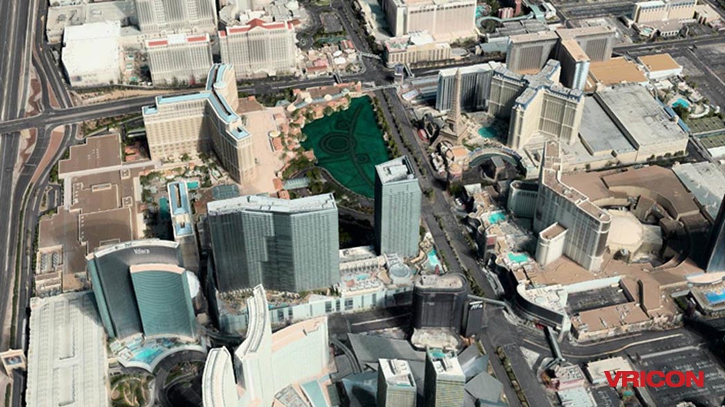
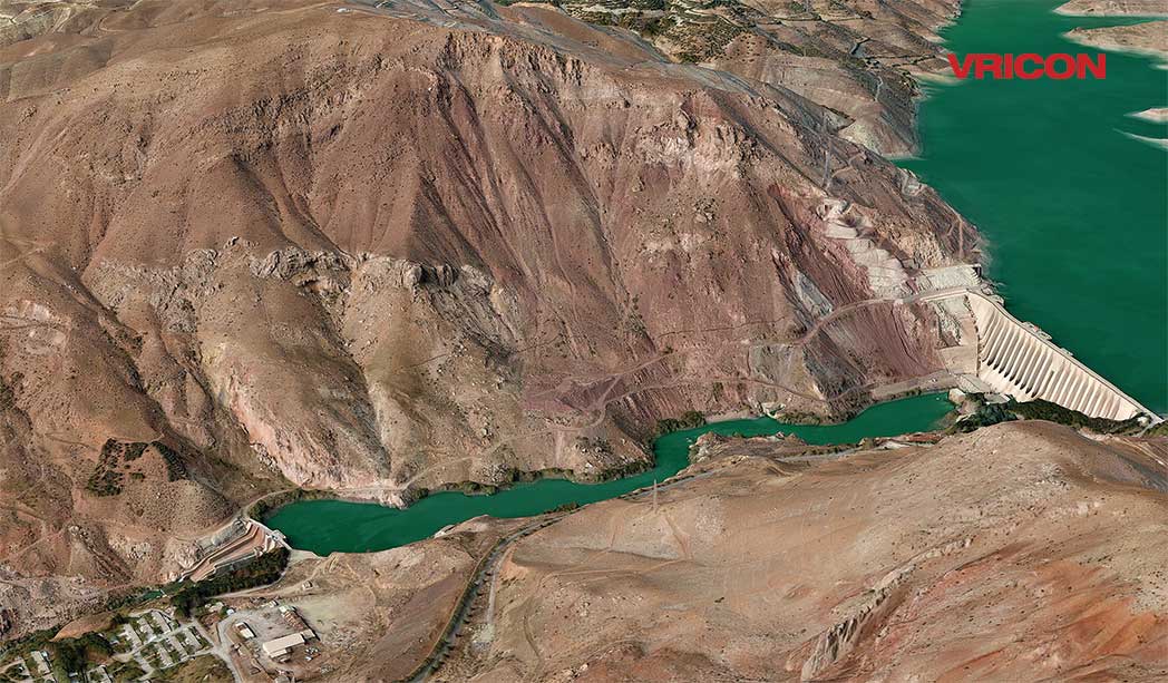
The most photorealistic representation of the world with superior accuracy and global coverage ready for immediate analysis—without traditional conversions or complex data manipulations.
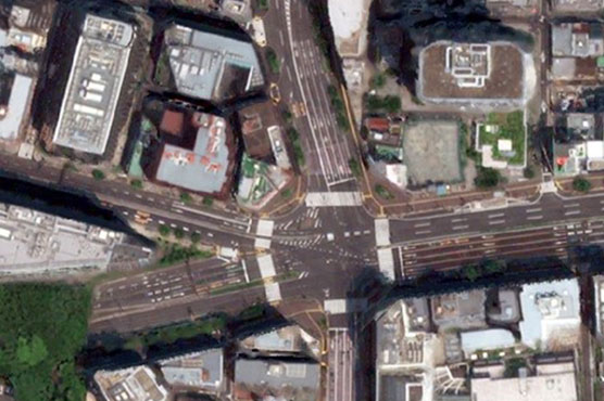
True ortho is an accurate, seamless 2D image mosaic that represents a true nadir rendering of every single point on earth. With its exceptional accuracy, it is ideal for high definition (HD) mapping and AI-driven feature extraction, requiring less training data.
Elevation Suite datasheet
See the difference the highest quality elevation models can make for your project.
Explore product samples