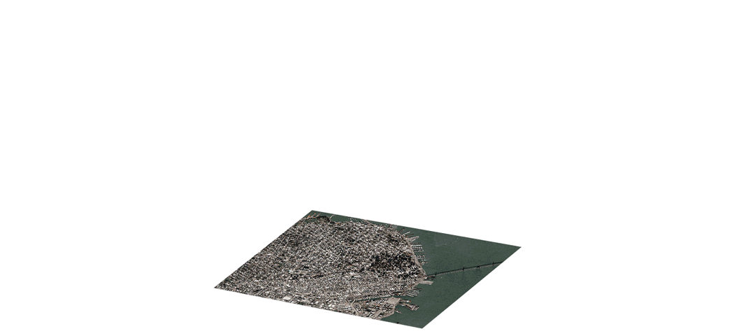
Skip straight to analysis with Maxar’s analysis-ready data (ARD). ARD is preprocessed time-series stacks of imagery that are aligned and produced at a set standard. Aligned image stacks from ARD provide increased usable content via localized metadata, more accurate feature extraction, faster processing, lower storage costs and homogenized inputs for analytic workflows.
Imagery on your terms
ARD puts the user in control. Customize your imagery selection, order only what you need and deliver imagery directly to your cloud environment. Accessing Maxar’s highest quality satellite imagery in analysis-ready format is easy with an API.
Select imagery based on only the criteria that’s important to your business. Choose your areas of interest, eliminate cloudy images, determine your stack depth and more.
Visualize your selected imagery stacks on an interactive html viewer.
Review usage estimates before placing an order.
Order only the imagery you select, relatively align pixels using Maxar's proprietary Bundle Block Adjustment (BBA), and deliver GeoTIFFs and accompanying files to your preferred cloud environment.
Access and interact with ARD imagery using Maxar’s Python-based SDK and CLI tools.
Global coverage
With coverage at 50 cm resolution or better and few geographic restrictions, you can define your areas of interest.
Leverage API access points to order time-series stacks of imagery based on your specific AOI.
Subscription access
With subscription access to your AOIs, order only the imagery you need and iterate on your order until it is complete, without affecting your data allocation.
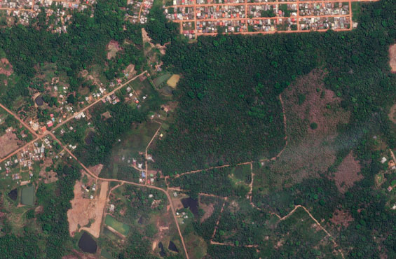
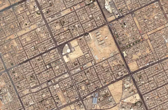
Reliable data for meaningful detection
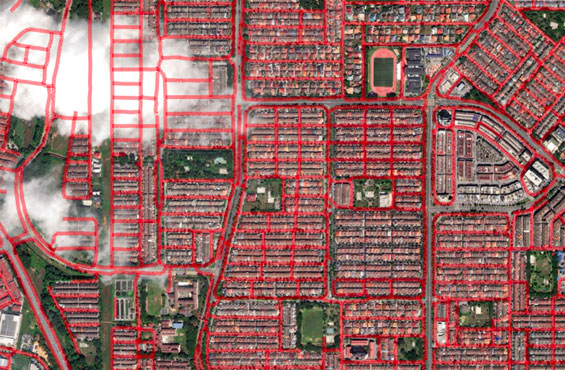
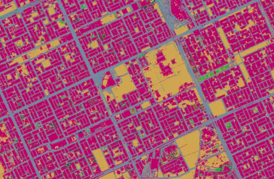
Feature extraction
Use machine learning and artificial intelligence to extract roads, parcels and buildings as well as identify land use and vegetation at scale.
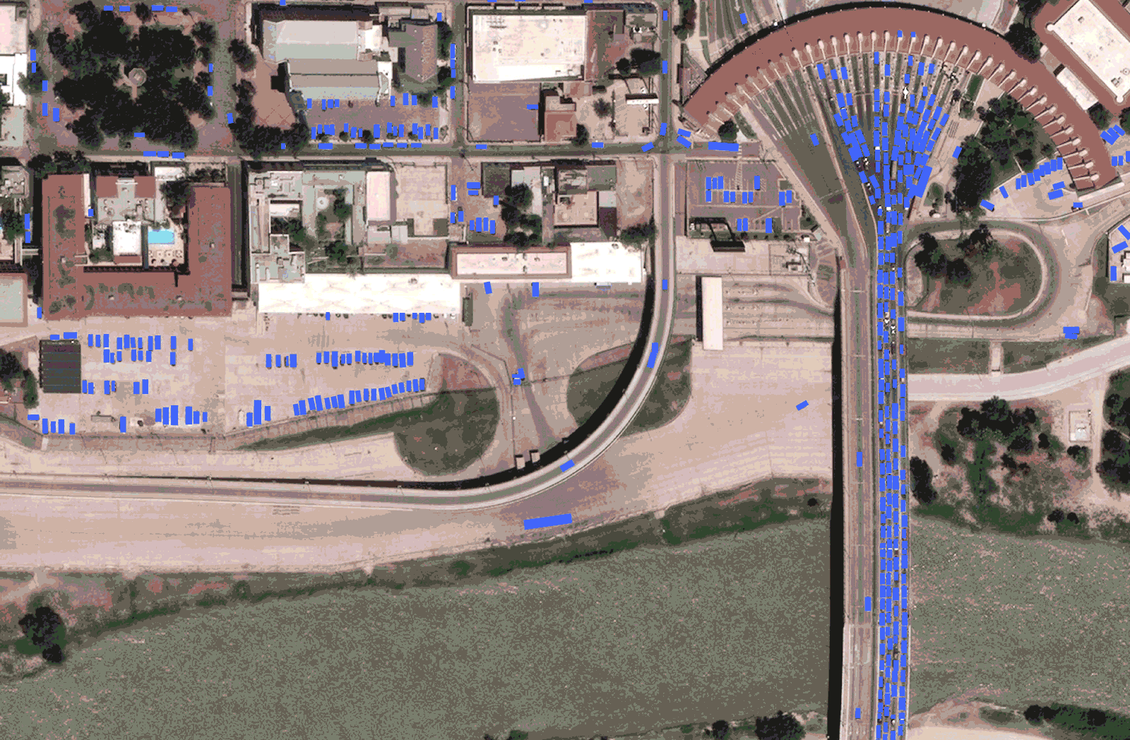
Object detection
Create a localized detection model and deploy it as new imagery is collected to determine changes in your AOI.
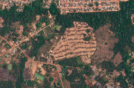
Change detection
Accelerate your change detection workflows with aligned and consistent time-series imagery.
Global mapping
Update your organization’s maps, develop a continentwide land use/land cover model, and run each year to detect changes.
Discover what you can do with ARD
Explore how your organization can leverage the power of ARD to expedite analysis.