Maxar Geospatial Platform Pro
Unrivaled coverage with on-demand access
Unrivaled coverage with on-demand access
A Maxar® Geospatial Platform (MGP) Pro subscription, formerly SecureWatch, gives you on-demand access to the world’s most recent high-accuracy, high-resolution satellite imagery and analytics.
Download datasheet
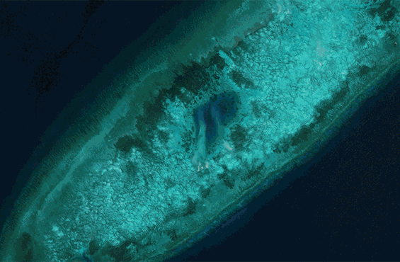
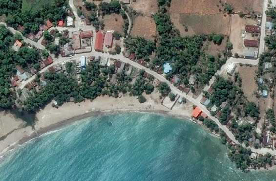
More than 125 petabytes of the highest quality imagery—including up to 30 cm resolution and 4 m CE90 accuracy.

Coverage at 50 cm resolution or better worldwide, including global denied areas.

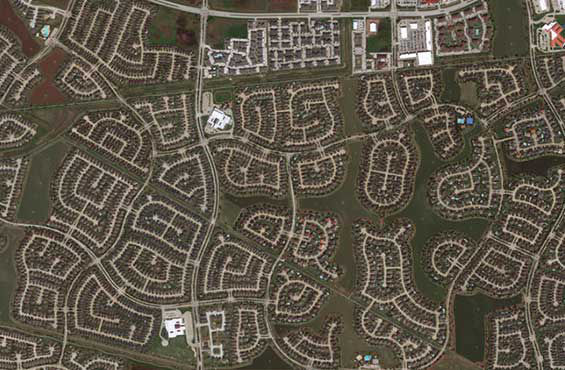
More than 3.8 million sq km of new imagery added every day, over the areas that matter most.

Simple APIs, OGC streaming services, web interface and GIS integrations via convenient subscription options.

Update your organization’s maps and build derivative products using the highest quality, current basemap.
Automatically receive alerts when new imagery becomes available over your area of interest.
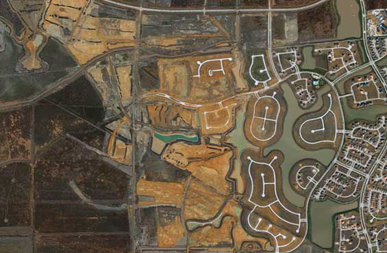
Understand the impact of change with access to more than 30 years of historical satellite imagery.
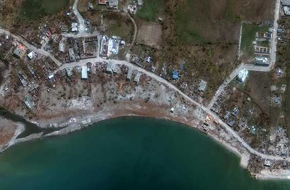
Make timely decisions in response to emerging conditions and inform planning for future events with actionable information.
See how MGP Pro can help your organization gain a critical advantage and streamline your workflows.
Request a demo