Critical Insights Into Natural And Built Environments
Challenges like monitoring poverty, hunger and health; observing trends in education and gender equality; better understanding the effects of climate change; and protecting our environment are all critical to a sustainable future.
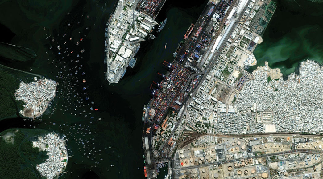
Maxar Intelligence’s foundational geospatial data can help map populations, homes, schools, vegetation, infrastructure, energy and more—providing critical context at local and national scale.