Our Constellation

The world’s most advanced Earth observation satellites

The Maxar constellation

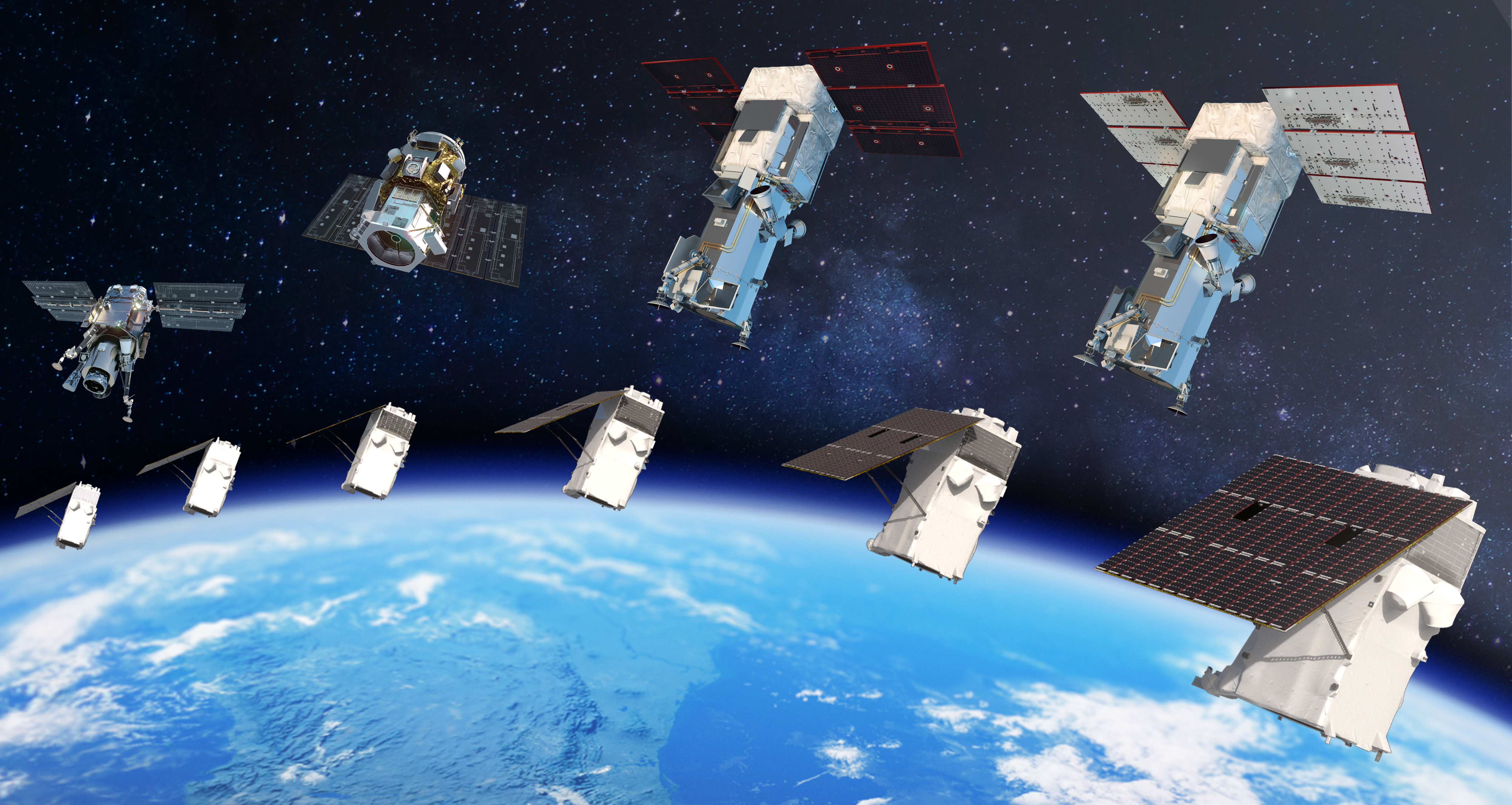
Unrivaled accuracy, agility and collection capacity

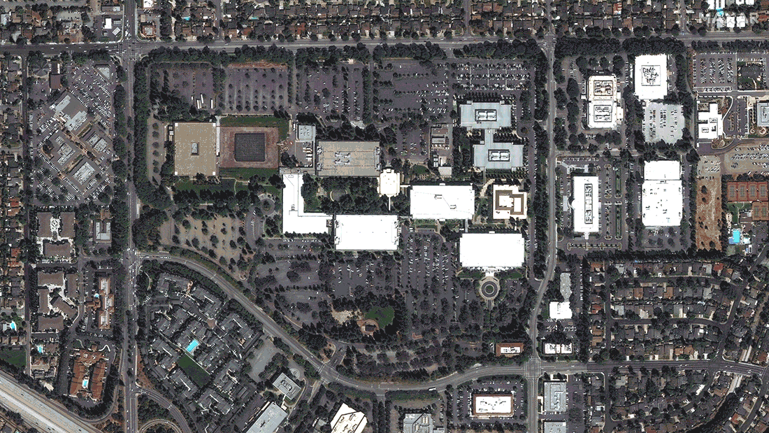
Our high-resolution constellation offers customers around the globe affordable access to the highest quality view of their world.

On orbit

  • More coverage: 60% of Earth’s surface monthly
  • Daily collection: More than 3.8 million sq km per day
  • Fastest revisit: Intraday revisits

Decommissioned satellites

Collectively, these satellites contributed over 1.2 billion sq km to the world's largest imagery archive.

Future Satellites

WorldView Legion satellite model

Innovative space infrastructure for reliable Earth intelligence

The next evolution of Maxar’s industry-leading constellation, WorldView Legion is a fleet of high-performance satellites that will dramatically expand our ability to revisit the most rapidly changing areas on Earth to better inform critical, time-sensitive decisions.

From defense and intelligence to living maps for navigation, WorldView Legion satellite imagery will support valuable missions—at unmatched speed, quality and scale.

  • Up to 15 revisits per day
  • 30 cm-class resolution
  • <1.5 m RMSE accuracy
  • 5 million sq km daily collection capacity


Download datasheet

Superior Quality for Mission And Business-Critical Decisions

High-resolution satellite imagery of the Kashagan oil complex in the Caspian Sea

Leading collection capacity

In addition to the more than one billion sq km of high-resolution optical imagery we collect each year, the Maxar constellation offers tremendous tasking capacity for customers.

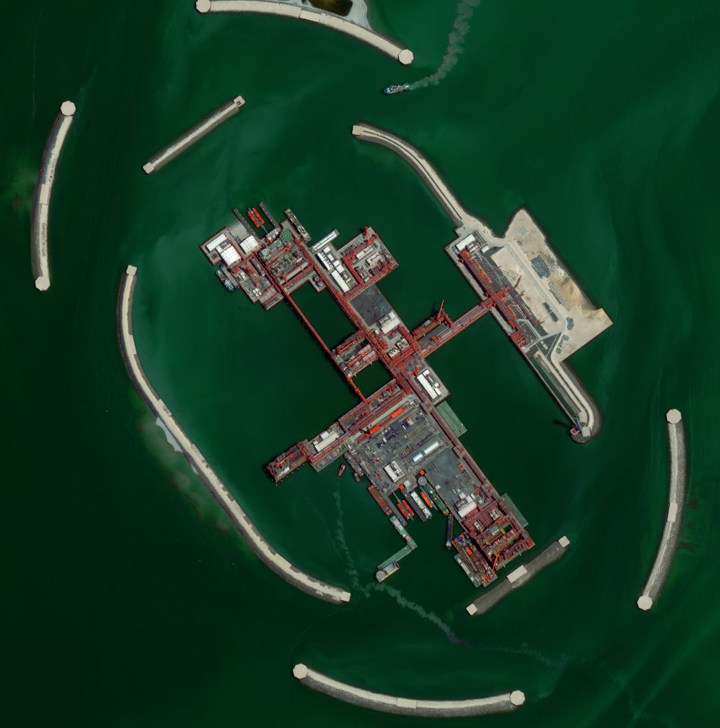
Flexible tasking options allow customers to select the imagery they need and how they need it—online, offline, via mobile device or directly into GIS.

  • High resolution showing crisp detail
  • Most spectral diversity commercially available
  • Fastest 50 cm revisit times—intraday revisits
  • High geolocational accuracy
  • Large high-resolution swath width
  • Most agile with rapid retargeting
  • Greatest in-track stereo collection
High-resolution satellite imagery series of Apple Park showing change over time

Change over time

Millions of square kilometers of imagery are available from our retired satellites, serving as a digital time machine that allows customers to see change through an archive that goes back more than 20 years.