Explore, Connect, Protect
Helping organizations explore space, connect humanity and protect our planet and its people.
Helping organizations explore space, connect humanity and protect our planet and its people.
Unlock advanced, timely geospatial insights to solve national security, defense and commercial missions in new and innovative ways.
Redefine what's possible in space with proven spacecraft, components and robotics.
Our geospatial intelligence solutions deliver critical insights for customers around the world.

a First-of-its-Kind Software that Unlocks Next-Gen GPS Resilience for Autonomous Systems
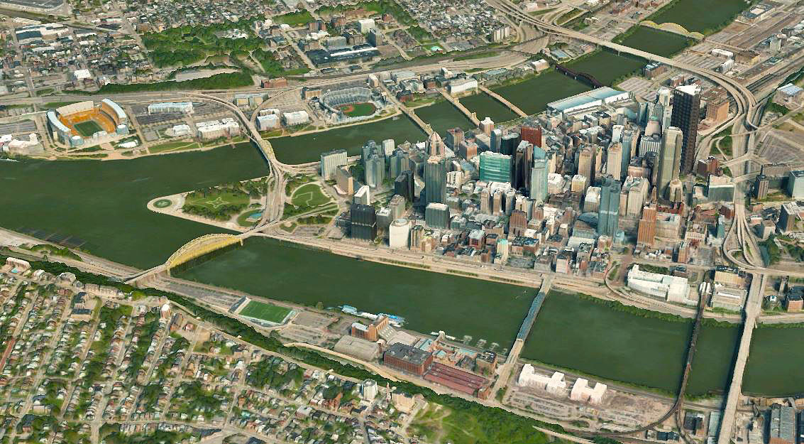
Vivid Advanced imagery basemaps now covers metro areas and regularly updates over areas of major urban development.
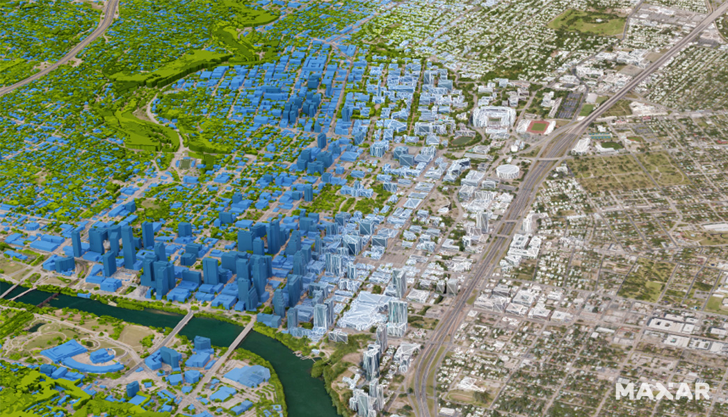
Our digital twin of Earth provides highly accurate 3D datasets of real-world environments for simulation, training, navigation, network planning and other complex environments.
Our space technology innovations and partnerships are driving better outcomes for our customers.
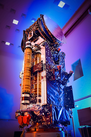
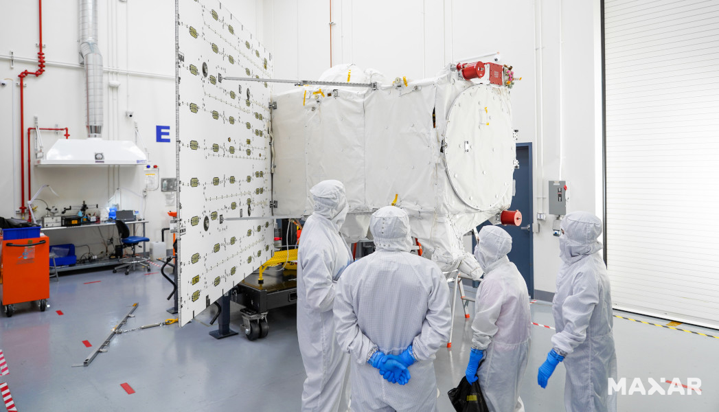
Maxar Space Systems designed and manufactured this specialized satellite for Ovzon, a Swedish-based SATCOM as-a-Service provider dedicated to offering world-leading mobile satellite communications services, to customers across the globe.
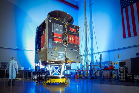
The Maxar Space Systems-built Psyche chassis spread its two solar arrays and successfully started maneuvers toward the asteroid belt.
Shortly after liftoff and separation, the satellite began receiving and sending signals and deployed its solar arrays.