Earth Intelligence

Accurate and timely information about our changing planet

Image

Identify, understand and predict change

In this time of rapid global change, we need new ways to identify, monitor and understand the impact of change on environments and human dynamics such as economy, health and sociopolitical stability.

Maxar Earth Intelligence capabilities help customers map, detect, address and predict change at unprecedented speed and scale. By combining multi-source data and applied artificial intelligence, machine learning and rich domain knowledge, we deliver insight as a service.

Give your organization the intelligence it needs

Integrating Maxar Earth intelligence and the power of location-based information can help your organization solve problems in new and innovative ways. Key applications for Earth Intelligence include:

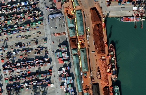
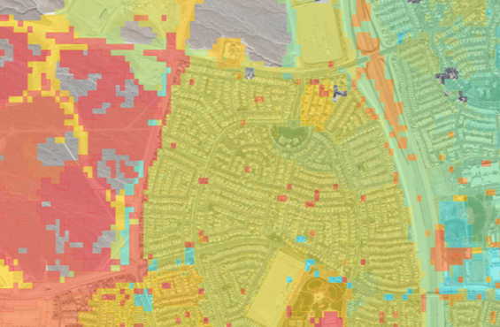
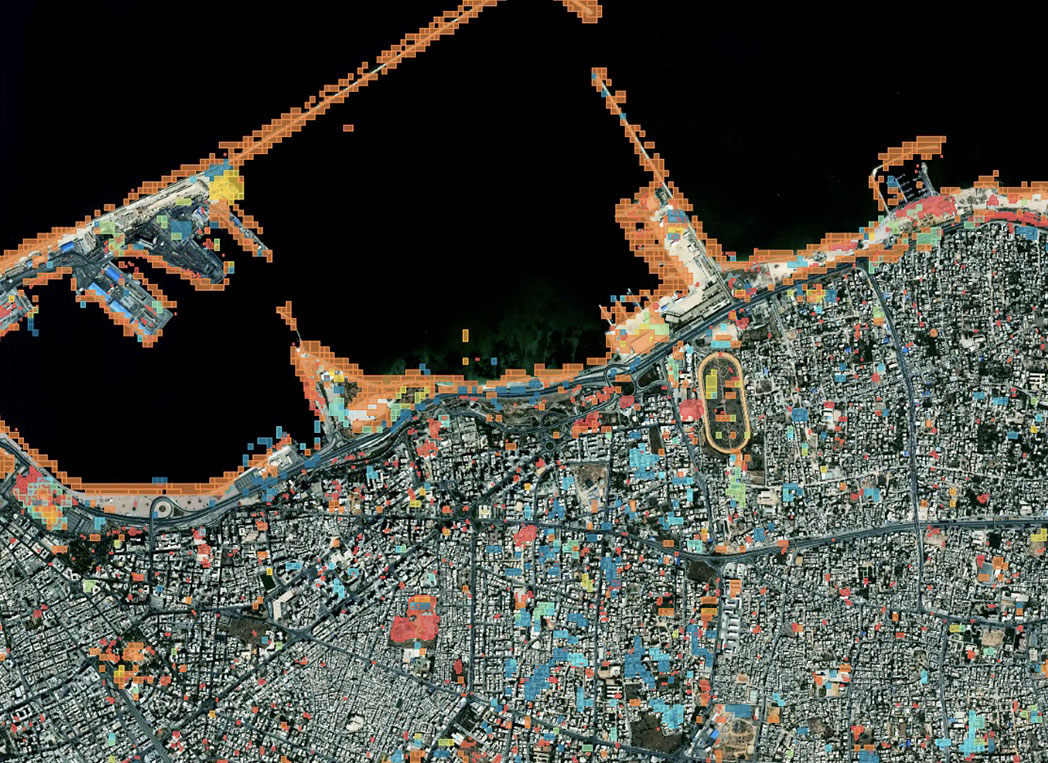
Access conflated multisource data

Aggregating multiple data sources—including satellite imagery, weather data, human geography information and more—into a single view can help you get a more complete picture and make decisions with the best possible information.

Learn more

Create or customize a map

Access foundational and advanced resources like imagery, building footprints and extracted layers to build valuable context. Go beyond 2D maps with 3D visualizations to understand rapidly growing cities and changing landscapes.

Learn more

Leverage geospatial experts and AI

Powered by foundational data, our cloud-based AI platforms and teams of experts can provide answers to specialized questions. Or we can enable your own in-house team of data scientists to extract new insights on a global scale.

Learn more
truth

Your source of truth matters

Reliable Earth Intelligence is powered by the best foundational information. When lives, operational performance or environmental safety are on the line, you need to trust your data. Learn why high quality satellite imagery means the difference in making a best guess or an informed decision.

real world

Geospatial in the real world

Advanced geospatial technology is helping our customers and partners solve problems in new ways. See how Earth Intelligence helps organizations across the globe understand change and take action.

Earth intelligence for your organization

Our Earth Intelligence capabilities include a portfolio of satellite imagery products and analytics that simplify access to critical information.

Satellite imagery

Detect change and build context at scale

Learn more

Map data

Premium content at your fingertips

Learn more

Analytics

Insights from machine learning and our team of geospatial expert analysts

Learn more

Earth intelligence in context

Discover how advanced mapping capabilities impact mission planning.

Explore now